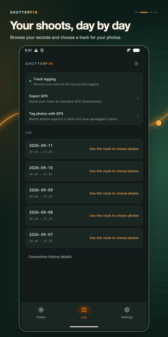
Find your day on the map
Explore recorded locations alongside your shooting dates.
 ShutterPin
For Sony & Canon Mirrorless
Seamless auto GPS geotagging for Sony & Canon mirrorless cameras. Just turn on your camera and shoot.


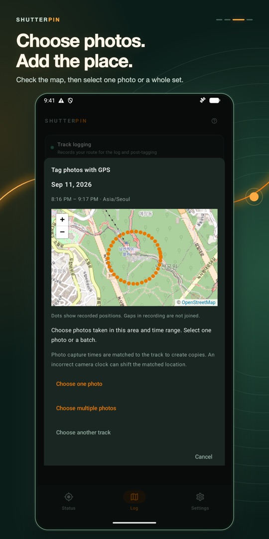
ShutterPin sends smartphone GPS location to compatible cameras over Bluetooth and helps you geotag photos using recorded tracks. Find shooting locations on a map, select one photo or a batch, and match each photo to a place by capture time. Export your route as a GPX file.
Explore recorded locations alongside your shooting dates.
Check the map, then select one photo or a whole set.
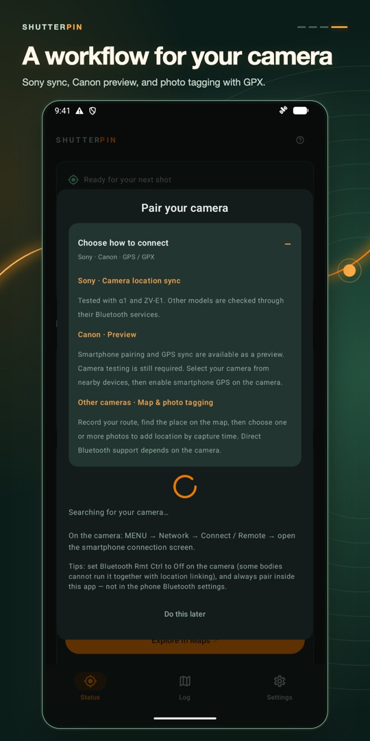
Tested with α1 and ZV-E1. Other models are checked through their Bluetooth services.
Smartphone pairing and GPS sync are available as a preview. Camera testing is still required. Select your camera from nearby devices, then enable smartphone GPS on the camera.
Record your route, find the place on the map, then choose one or more photos to add location by capture time. Direct Bluetooth support depends on the camera.
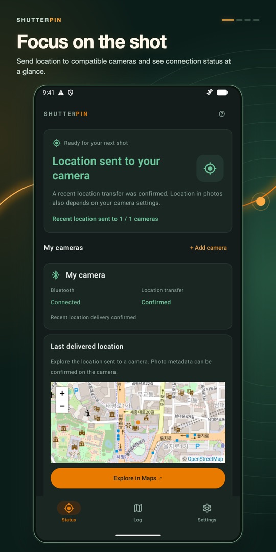
Location is sent to your camera over Bluetooth. Tracks stay on your phone. Opening a map sends requests for the visible area to the map provider.
Live location sending requires an account and an active trial or purchase. Subscription and lifetime options, pricing, and purchase restoration are available in the app. Background operation depends on permissions, phone settings, camera settings, and firmware. ShutterPin is independent and is not affiliated with camera manufacturers.